Geographic information system is unimaginably wide and is a separate field of study for GI Scientists or Geographic Information scientists. It integrates data on different forms- software, hardware and over the web. From the requirement of knowing the GI Systems to the actual application of them to merge, integrate and put to use any geographical information is best left at the hands of a professional. Digitise IT is a prominent name in the CAD (Computer aided design) Industry and the service provider holds a 17 year experience in the GI Systems service.
USE OF GI SYSTEMS
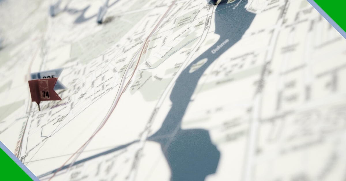
- Geographical Information systems were always present for use by humans. At first, merely as system for regional planning. But the first integration of GI Systems, as it is seen now, was computer systems were used for the general purpose of “mapping”.
- Today, the GI Systems combine information present on various digital as well as hard copy or physical platforms to create data used for geographical referencing.
- Modern methods like “Heads-up Digitization” ease the system of mapping by providing for parallel digitization to discard the possibility of errors while tracing geographical systems.
GIS SERVICES BY DIGITISEIT
GI systems don’t just create data that is easy to understand, it also helps gives solution to geographic project drafts just by looking at the data. Digitise IT provides a variety of GI Systems services, permutations of which can help you resolve various geographical data capturing, storing, integrating, analysing and managing activities.
These services include:
- ANALYSIS: Geographical data analysis by skewing and manipulating spatial attributes of the data. The system analyses a geographical area to determine points of slope and elevation. GIS can be used to analyze the complex 3D characters of the earth’s surface.
- DIGITALIZATION: The digitalization of geographic maps can be complicated, confusing, and tedious. Though the best way to proceed is to be gradual in the digitalization, the same can be time consuming. Digitiseit offers services that help in both gradual and parallel digitalization of geographical areas ranging from rivers to roads, plot areas to office infrastructure, and miscellaneous other spatial regions.
- EXTRACTION AND SEGRAGATION: Parcels can be made of line features, polygon features, and point features, and these exist on a continuous surface or parcel network. GI systems can be used to easily segregate or extract parts of parcel, line, and point data for individual understanding and referencing of geographical data.
- GEOCODING: is a huge part of the GI systems provided by Digitiseit. These include address as well as reverse geocoding. Address geocoding helps in referencing individual addresses in the form of coordinates, and computer-aided design systems are used to code the locations, considering spatial referencing mechanisms. While reverse geocoding helps in referring back to a given street with the given coordinate.
- INFRASTRUCTURE MAPPING: The application of GI Science on infrastructure and institutional mapping has widely spread. Furthermore, the experience has been digitized by using control points and specific points in the data. Digitiseit composes all three components of GIS infrastructure mapping i.e. the data domain, analysis domain and communication domain to provide a comprehensive service as per the requirements of clients.
- DATA MIGRATION AND TRANSFORMATION: The primary usage of computer aided design services is to transform data on various platforms to a final platform that will be used by the client. This final data migration or transformation becomes easier to comprehend, share and edit. The data can even be stored on a multi-platform (software, hardware or over the web) level where it is fluid enough to be easily migrated as per the job’s requirement.
- CAPTURE: The most basic use of GI System services, before migration or geo-coding, is to create or capture a specific plot or geographic areas from either rural or urban areas for proceeding work on the same. But capturing data from area paper maps can be a meticulous and tedious work without the use of computer aided systems. GI Capture using CAD also helps avoid errors and possibility of mistakes while linking control points, lines and spatial information in a geographical area.
GI SYSTEMS SCIENCE AND SKILL
If anything has been constant about us as a race it is our ability to always evolve, enhance and upgrade. On this note, GI Science has come really far in its brief history. Today almost all service providers claim the knowledge of this science and amidst this vast sea of options, the growth of your company is dependent on choosing the right partner and service provider to associate with. Digitiseit is a leading GI Systems service provider in the CAD Industry for more than a decade and holds a positive acknowledgment of its services within its client base. The attraction is not just because of the top-tier digital systems and modern technologies which the company provides, but also because of the inclusion of a staff of GI Scientists and a skilled team that upgrades the geographic information as per the client’s needs in the correct digital form.
What exactly does the team offer?
1. Focused approach
At digitiseit there is only one focus and that is your project. The computer-aided systems are present in plenty and utmost accuracy is the goal. For this various combinations and customized services are used to reach the final product as per demands.
2. Error free digitalization:
The entire purpose of bringing geographical information on a digital platform was to ensure uniform data over various places and to get rid of restrictive physical boundaries. Keeping this in mind the team safeguards accuracy making the data unvarying by direct tracing or digitalization for easier sharing
3. Smart submissions:
What is faster is not always smarter, but what is smarter is always faster. The team at Digitise IT believes that enhancing the project by CAD Systems is a matter of working smart and using the right tools. The GI Systems services provided by Digitise IT ensure a final product or map that can be easily read to find the exact references to locations, infrastructures or plots as are needed by the clients.