Geographical Information Systems (GIS)
We offer a wide range of services aligned to the needs of our clients.
We offer a wide range of services aligned to the needs of our clients.
Over the years, we have worked with several customers across the globe and created several thousands of drawings spanning mapping and data capture for
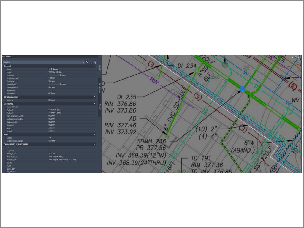
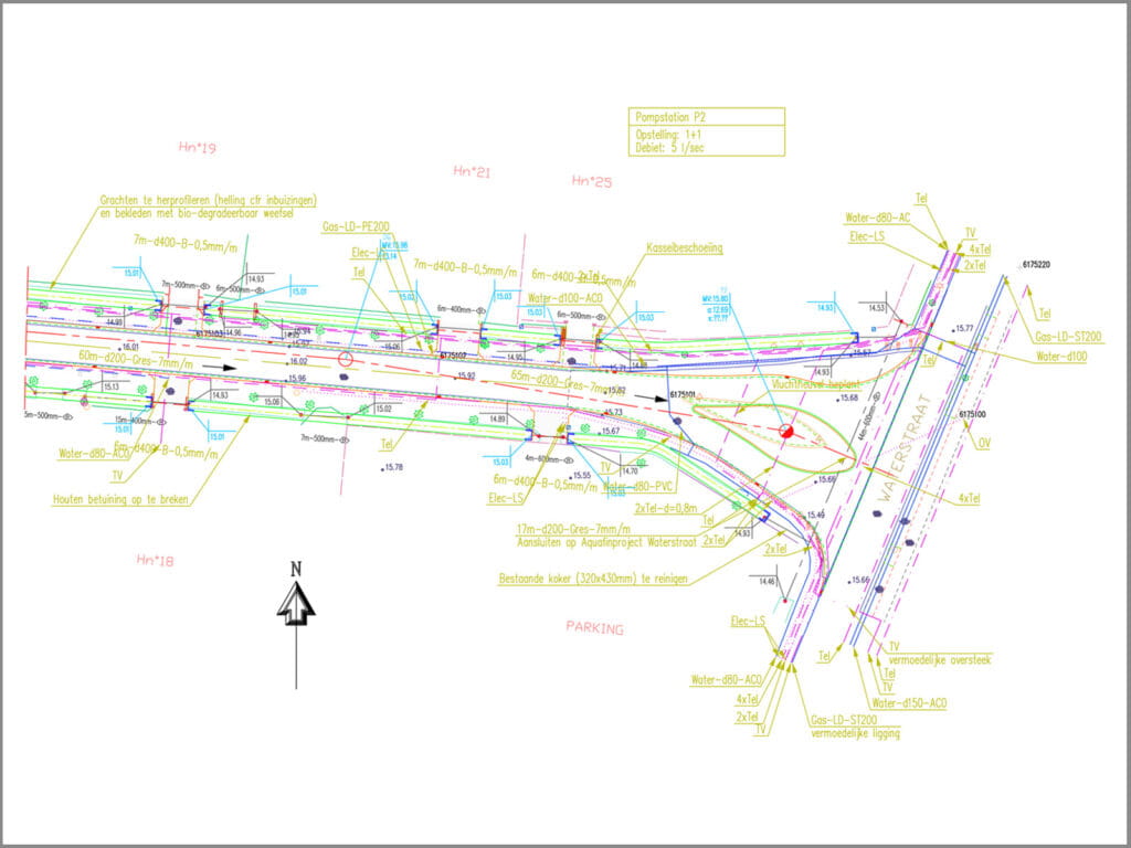
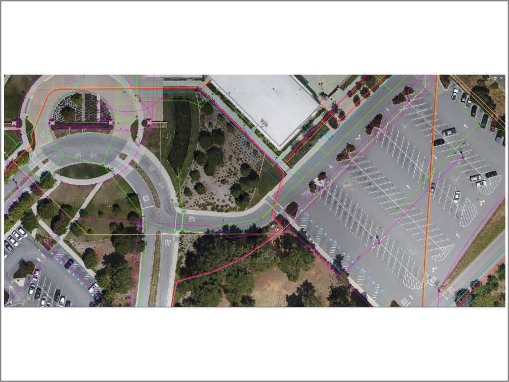
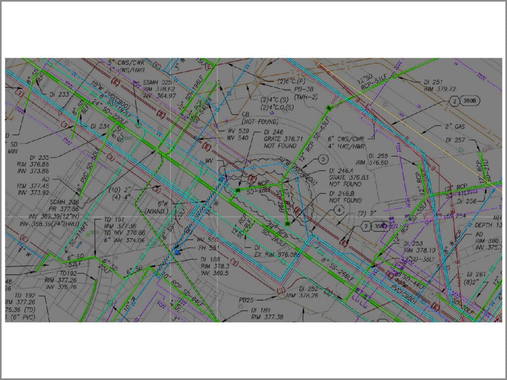
We have also completed many projects for various educational institutions organising their underground and overhead utility infrastructure data. The work involves capturing the entire lifecycle of different stages of construction over the years. Data capture includes discovery and sorting of a large number of drawings and capturing the relevant information – historic to current, by aligning with information received from drone imagery. Also involves redline and markups after field verification of the overhead utilities onsite.
You have a special requirement, we align the service and process to that request! Know more about our BESPOKE services.
Our team is highly skilled in softwares like Autodesk AutoCAD, AutoCAD map, Civil 3D and related plugins and Autodesk Revit, to name a few key softwares.
We have used DigitseIT for several years and completed many projects on time, on budget and with minimal oversight. DigitiseIT’s team is professional, friendly, and easy to communicate with. I highly recommend their services.
I was apprehensive about outsourcing work to India, but my team here was adamant that this was a cost effective solution. I have to admit that the quality of your deliverables was far more than my expectations- superb quality, absolutely on-schedule deliveries and definitely cost effective! Well done, Digitise IT!