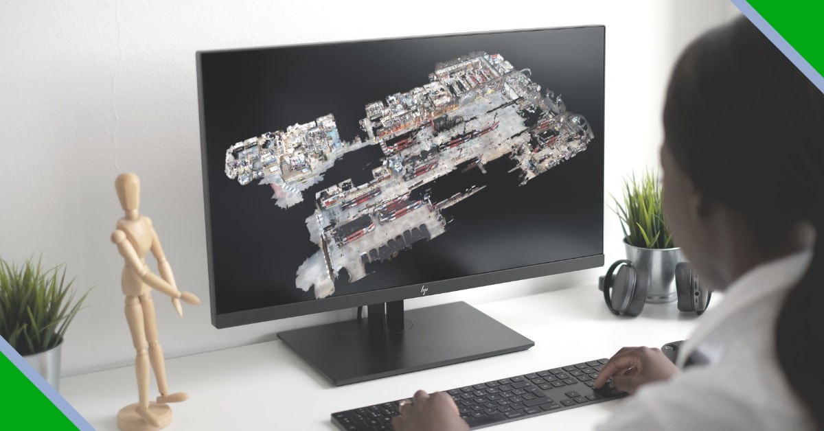
A point cloud consists of a huge collection of points. The placement of these points on a 3D coordinate system speeds up design processes and provides a real-world context for the recreation of referenced objects or insertion of additional models. Point clouds can be derived from raw data gathered with the help of 3D laser scanners or other scanners. Data can be obtained from things such as buildings, manufactured items, or topographies and used in your drawings after converting it into a point cloud file by means of AutoCAD Architecture or Autodesk ReCap.
Until recently, architects and engineers that scanned industrial spaces had to grapple with a connect-the-dots puzzle consisting of millions of dots in three dimensions. They had to connect the dots manually, ensuring the correctness of measurements to a millimeter. The availability of partly/fully automated software that helps them to transform scans into point clouds files has vastly simplified their lives and is changing the CAD world in a big way.
Infinite Possibilities of Point Clouds
Engineering
Three-dimensional scanning and point cloud technologies find immense applications in the field of engineering. They are key-enablers when it comes to the digitalization of existing facilities, especially when 2D drawings and CAD models are not available. Moreover, users can work from anywhere and at any time using a computer. Further, innovative solutions have made it possible for users to employ point cloud data for the generation of classy 3D outputs.
Geology
A point cloud is an indispensable tool when it comes to geological as well as geotechnical data collection, analysis, and interpretation. Open pits and underground mines continuously collect point cloud data through photogrammetry surveying and laser scanning devices. Technological advancements have reduced the file sizes, simplified the rendering requirements, and have enabled the implementation of surface meshing tools and real-time 3D viewers. In fact, the applications of the technology in the geo-mechanical field are growing by the day.
Construction Industry
Three-dimensional point cloud data gathered through laser scans, videos, and images provide accurate geometries of objects in the construction industry. As such, the industry has been employing point clouds for purposes such as 3D model reconstruction, construction progress tracking, and geometry quality inspection, among others.
Building Information Modelling (BIM) has already taken the construction industry by storm. In the UK, BIM Level 2 is a must for all publicly-funded construction projects. Laser scanners and Point clouds make BIM more useful. Actually, the computer-aided BIM designs enable only theoretical planning. Point clouds help designers overcome this deficiency of BIM. In fact, point clouds enable the alignment of digital models and physical space with exact details.
DigitiseIT
DigitisIT, established in 2000, is a top CAD services company. It offers architectural 3D visualization and modelling services to customers around the globe. The CAD services provider has delivered high-quality work in diverse domains. Their services are utilized by real estate agencies, architects, building construction companies, property developers and marketing agencies, building utility contractors, chemical industries, and shipbuilders.